Additional information
| ICAO |
|---|


Sleap – EGCV
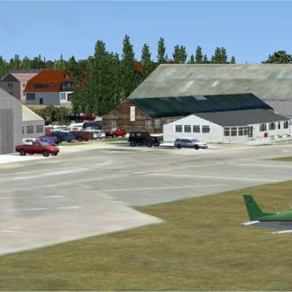
Previously a satellite of the adjacent RAF airfield of Shawbury. Percival Provosts, originally piston engined, but later replaced by the jet engined version and Vampires were flown routinely across to Sleap to allow students at the ATC Training School to get practical experience.
Data was gleaned from pictures of wildly varying dates so some buildings/objects were missing or different. Lots of artistic licence used but hope it gives the flavour of the airfield.
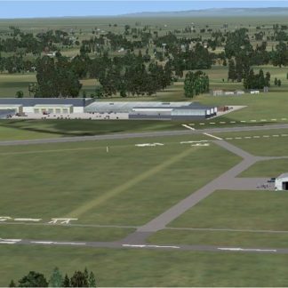
Compiled using aerial views from Google Earth, the FSX SDK Object Placement Tool and Airport Design Editor X v1.47.07. Non generic objects were produced using Instant Object Studio from Flight 1.
The scenery was designed to use with FSX Acceleration and FSX SP2 so there may be problems if SP1 and SP2 are not installed. Tested using FSX in Windows Vista/7/8 and 10.
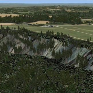
NOTE: The scenery was made to fit into the FSX standard scenery, discrepancies may occur with photo-realistic scenery.
| ICAO |
|---|
Click below to download the complete set of UK airfields and overseas airfields. These have been patched and include any updated versions.
Last updated 08 Aug 2017.
![]()
[file size: 416.1Mb]