Additional information
| ICAO |
|---|


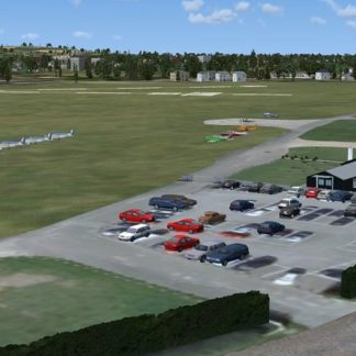
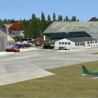
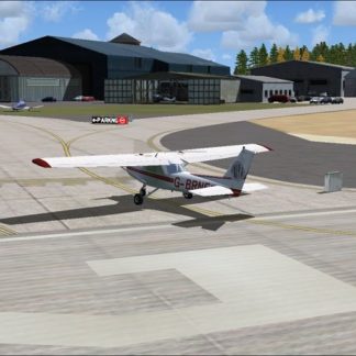
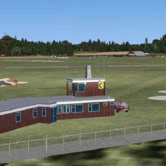
Denham – EGLD
Tower 130.700 – does not exist in real life but added to improve AI aircraft movements
I don’t guarantee that everything is correct but hope it gives the flavour of Denham airfield.
This was compiled using aerial views from Google Earth, Pooleys UK Flight Guide, and the FSX SDK Object Placement Tool and Airport Design Editor X v1.47.07. Non generic objects were produced using Instant Object Studio from Flight 1.
It was designed to use with FSX Acceleration and FSX SP2 so there may be problems if SP1 and SP2 are not installed.
NOTE: The scenery was made to fit into the FSX standard scenery, discrepancies may occur with photo-realistic scenery.
| ICAO |
|---|
Click below to download the complete set of UK airfields and overseas airfields. These have been patched and include any updated versions.
Last updated 08 Aug 2017.
![]()
[file size: 416.1Mb]